
Application
Dikes and water
Watch a dike section through a whole high-water day.
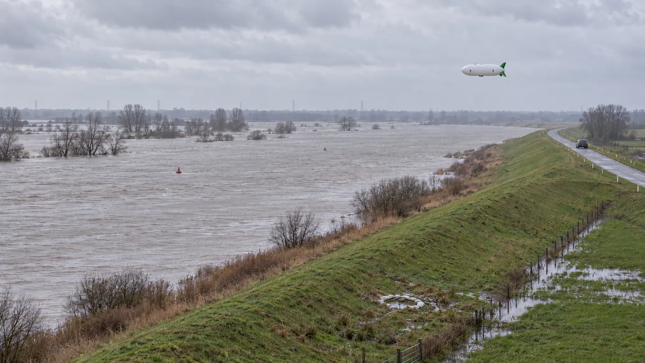 AI concept visual
The problem
Dike inspections matter most when the weather is worst. Foot patrols and short drone sorties give snapshots, while seepage and deformation develop over hours.
How the airship helps
An airship can hold position over a dike section for hours, repeating thermal and LiDAR passes to spot seepage, piping signs and deformation, and assess damage quickly after a storm.
Typical sensors
- Thermal
- LiDAR
- RGB
Mission sketch
- Time on station
- 6 - 10 h
- Altitude
- 50 - 120 m
Mission figures are design specifications.
Compared
Airship, drone, helicopter or satellite?
Each row shows the strongest option for that task. We also show where another platform is the better choice.
Where the airship wins for dikes and water
- Watch one dike section through high water
- Repeated thermal passes in one mission
- Imaging under low cloud
| Task | Aerostatix | Drone | Helicopter | Satellite |
|---|---|---|---|---|
| Watch one dike section through high water | 6 - 10 h on stationBest | 45 min per battery | about 2 h per sortie, crewed | one pass per revisit |
| Repeated thermal passes in one mission | hours of repeats from one flightBest | many short sorties | possible, but crewed and costly | no thermal at this detail |
| Imaging under low cloud | yes, flies below the cloud baseBest | yes, short flights | yes | no, clouds block optical imaging |
| Flying in storm-force wind | limits set in flight tests | limited | strongest in windBest | not affected, but clouds block the view |
Aerostatix values are design specifications. Full comparison with sources
For asset owners
Start with a pilot project on one section of your network. We fly under our own authorisation and deliver the data.
Ask about a pilot projectFor inspection companies
Add long corridors and hours on station to your service. Lease or buy the X-11, or subcontract flights to us.
Reserve interest