
Application
Power grid
Follow a line corridor for hours, not minutes.
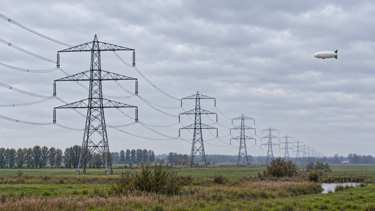 AI concept visual
The problem
Overhead lines run for hundreds of kilometres. Helicopter patrols are loud and costly; drones need many short sorties and battery swaps.
How the airship helps
Fly the corridor at low speed in one long mission, recording vegetation encroachment, thermal hotspots and tower condition, with data sent over 5G, and over the satellite back-up where coverage drops.
Typical sensors
- RGB
- Thermal
- LiDAR
- UV corona
Mission sketch
- Corridor per flight
- 100+ km
- Speed
- up to 43 km/h
Mission figures are design specifications.
Compared
Airship, drone, helicopter or satellite?
Each row shows the strongest option for that task. We also show where another platform is the better choice.
Where the airship wins for power grid
- Long line corridor in one flight
- Noise near homes and livestock
- LiDAR, thermal and camera on one flight
| Task | Aerostatix | Drone | Helicopter | Satellite |
|---|---|---|---|---|
| Long line corridor in one flight | 100+ km without landingBest | a few km per battery | 100+ km, crewed and loud | wide area, 30 cm detail |
| Noise near homes and livestock | under 38 dB(A) at 100 mBest | about 55 dB(A) | about 95 dB(A) | none, but no close detail |
| LiDAR, thermal and camera on one flight | up to 15 kg payloadBest | up to 2.7 kg | large, crewed | n/a |
| Close-up check of a single tower | possible | quickest optionBest | possible | no |
Aerostatix values are design specifications. Full comparison with sources
For asset owners
Start with a pilot project on one section of your network. We fly under our own authorisation and deliver the data.
Ask about a pilot projectFor inspection companies
Add long corridors and hours on station to your service. Lease or buy the X-11, or subcontract flights to us.
Reserve interest