
Application
Ports and coast
A persistent overview of quays, locks and shoreline.
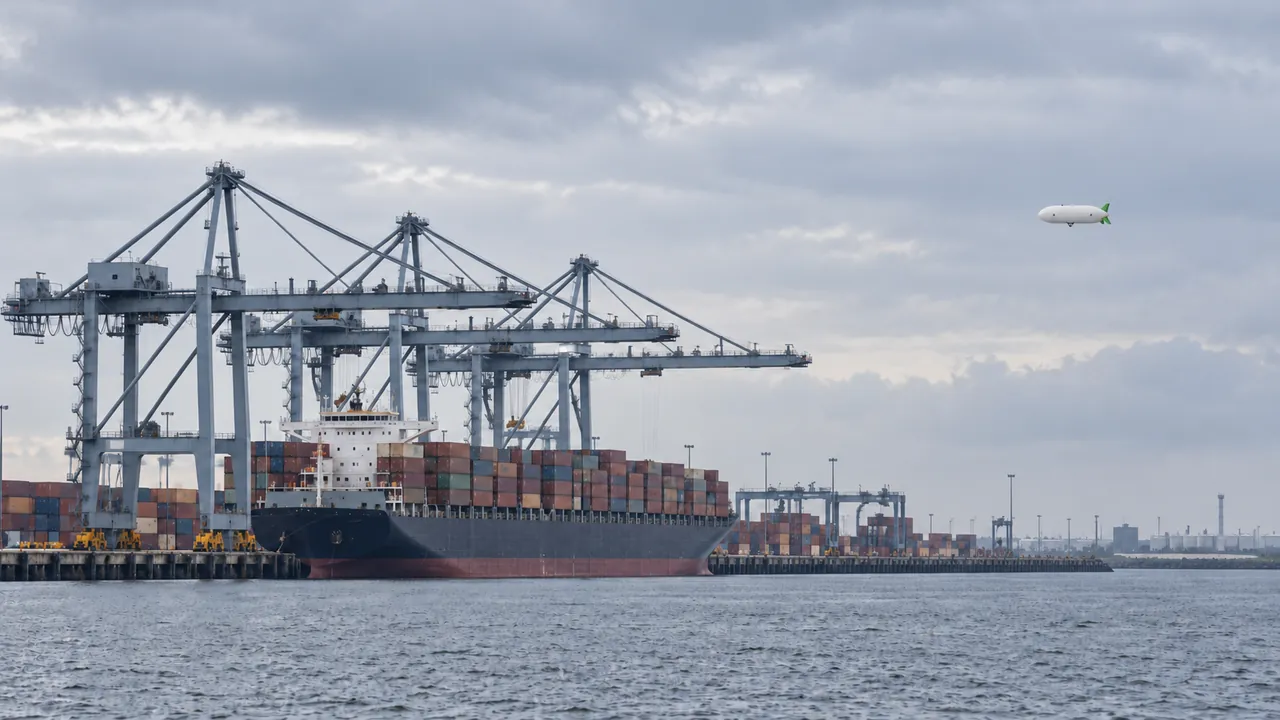 AI concept visual
The problem
Ports and coastlines need continuous situational awareness, and flying in port areas requires a specific-category authorisation.
How the airship helps
Hold station over a terminal, lock or coastline for hours, streaming imagery and sensor data to the operations centre.
Typical sensors
- RGB
- Thermal
- RF / AIS receiver
Mission sketch
- Time on station
- 6 - 10 h
- Link
- 5G with satellite back-up
Mission figures are design specifications.
Compared
Airship, drone, helicopter or satellite?
Each row shows the strongest option for that task. We also show where another platform is the better choice.
Where the airship wins for ports and coast
- Hours of overview over a terminal
- Live view for the operations centre
- Noise and downwash near ships and people
| Task | Aerostatix | Drone | Helicopter | Satellite |
|---|---|---|---|---|
| Hours of overview over a terminal | 6 - 10 h on stationBest | 45 min per battery | about 2 h, crewed | one pass per revisit |
| Live view for the operations centre | continuous streamBest | short windows | costly per hour | no live view |
| Noise and downwash near ships and people | quiet, near-zero downwashBest | moderate | loud, strong downwash | none |
| Rapid response far offshore | limited by cruise speed | short range | fastestBest | depends on revisit |
Aerostatix values are design specifications. Full comparison with sources
For asset owners
Start with a pilot project on one section of your network. We fly under our own authorisation and deliver the data.
Ask about a pilot projectFor inspection companies
Add long corridors and hours on station to your service. Lease or buy the X-11, or subcontract flights to us.
Reserve interest